
Kingston-Upon-Hull is in the top ten locations in Great Britain for flood risk, being a mainly level conurbation close to sea level, and with several valley watersheds flowing into it.
In June 2007 the City of Hull and areas of Haltemprice were subject to flooding due to a combination of rainstorm events resulting in compounded conditions purportedly equivalent to a 1:400 year event. The antecedent conditions of the main storm event were exceptionally unusual, resulting in the land in the area being totally saturated. The preceding conditions of the main event created a “tipping point” at which the storm overloaded the watercourses and sewer systems causing pluvial and fluvial flooding.
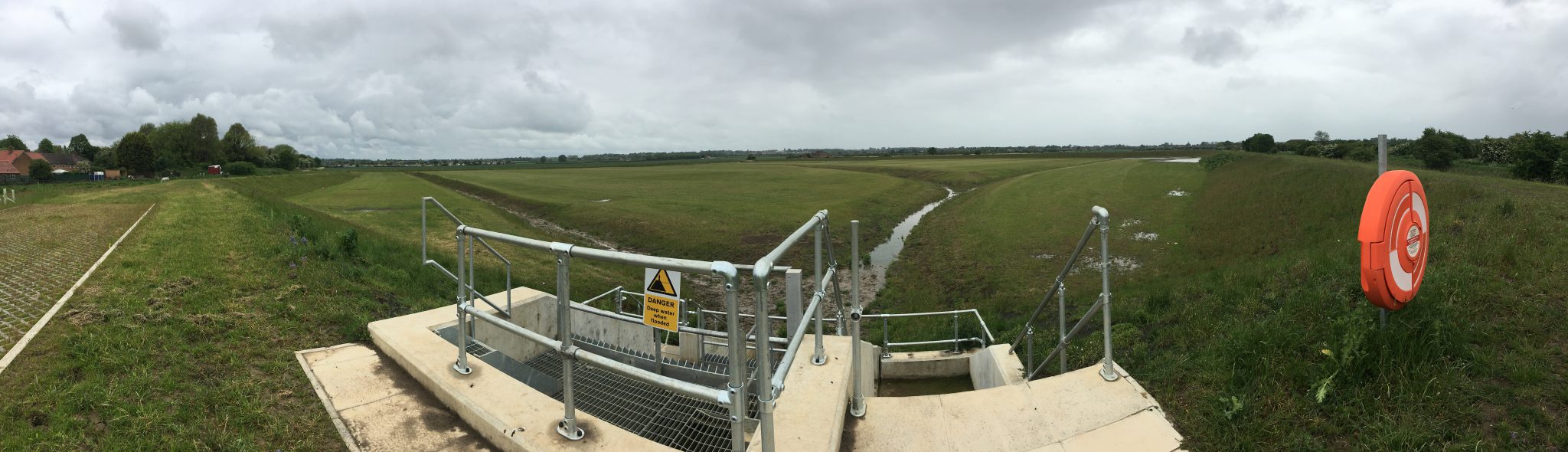
The area known as Haltemprice lies to the west of the City of Hull and comprises of seven watershed areas predominately of rural land use and generally falling eastwards towards the city.
The watersheds in the southern most area (Westella Valley and Tranby Hill – Western Drain) discharge by gravity to the Humber Estuary and have recent Environment Agency (EA) and ERYC schemes to address the flooding issues.
Of particular interest are two watershed areas. The first is the Great Gutter Valley area which drains the central portion of Haltemprice and Willerby. In extreme events, the watercourse can become overloaded and cause flooding within Willerby & Derringham / Anlaby area of Hull, a problem that is exacerbated by sharp deviations in the watercourse, causing significant overland flows to discharge eastwards into Hull, rather than remaining within the channel and flowing south to the Humber.


