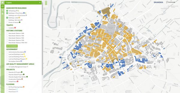
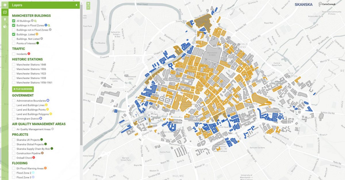
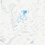
Organisations such as Skanska are responsible for building & managing/maintaining multiple infrastructure assets (energy, transport, urban & other systems) for local authorities, transport infrastructure operators, utilities companies and facilities such as hospitals, schools. These physical assets are often widely geographically distributed across a city/region and may be under, on or above ground level.
Currently many assets are managed within closed ‘systems’ based around asset type. Whilst data (geo-based, asset type, history, condition monitoring sensors) may be available it is not effectively utilised across these systems. The individual systems frequently have specific interface and visualisation approaches which make it difficult or impossible to evaluate large scale data patterns that cross data sets or integrate multiple data sources. Efficiency improvements that could be achieved by managing multiple assets from a targeted, single maintenance resource capability are therefore not being realised.
To support effective, efficient management and future construction of physical infrastructure assets, data from these discrete asset systems must be integrated, validated and analysed. It should be combined with
Building Information Modelling (BIM) approaches that are becoming industry standards within the physical infrastructure construction and asset management sectors. As assets are widely distributed geographically
integration with emerging 3D mapping enabled by Geographical Information Systems (GIS) is needed. Such an integrated approach is providing better intelligence and functionality for our asset managers, enabling productivity improvements and cost savings in asset management, and improved business offerings and reduced risk of failure to asset owners. No existing capability can address this need; the expertise is located in different organisations requiring a collaborative approach to developing a viable solution.
