
The Calder Valley has a long history of flooding dating back some 400 years. The Calder Valley is a steep sided catchment with the majority of the towns and villages located at the valley bottom immediately adjacent to the River Calder. It is a rapid responding catchment, which is challenging to forecast and is a significant threat to life. On Boxing Day 2015 the village of Mytholmroyd experienced its highest recorded flood level with 400 properties directly affected by the event.
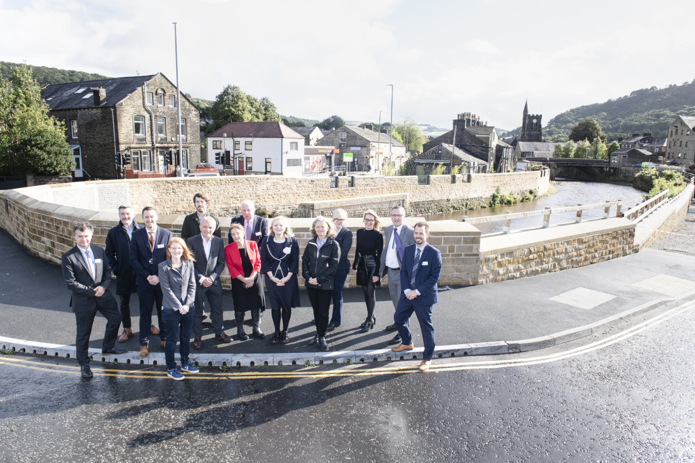
Immediately after the flood central government made a public commitment to reduce flood risk in the village with construction having to begin only 12 months later. Within 5 years the £41m project is complete better protecting 400 homes and businesses. The completed project includes new, raised and improved flood walls, the relocation and increasing the span of Caldene Bridge, widening of the river channel at key locations (St Michael’s Church and Caldene Bridge) and flood proofing buildings adjacent to the River Calder and Cragg Brook, all within physically constrained conditions (i.e. the main arterial road connecting the upper and lower Calder Valley, A646 Burnley Road, was immediately adjacent to the proposed flood walls).
Three Winning Facts:
- The project has been place changing to the village. It has opened up the village, created new hard/soft landscaped areas and it really has a sense of place now.
- The community decided what the scheme would better protect to as we valued their input so much and we wanted their buy-in.
- Where possible we ensured the community made decisions and we were open to their ideas/suggestions, i.e. tree planting, legacy idea, steps instead of ramps etc.